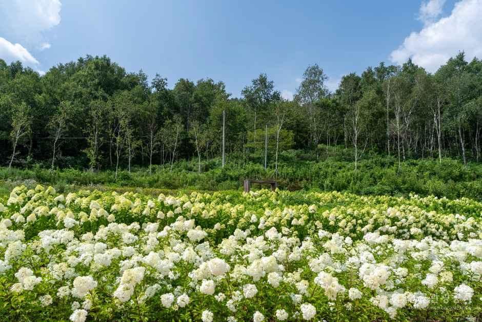
Gajisan Provincial Park (Miryang)
Located along the borders of Sannae-myeon in Miryang-si, Gyeongsangnam-do, Sangbuk-myeon in Ulju-gun, Ulsan, and Unmun-myeon in Cheongdo-gun, Gyeongsangbuk-do, Gajisan Provincial Park includes the areas of Gajisan and Yeongchuksan, commonly known as the Yeongnam Alps, as well as Cheongsongsan...
Address: Sannae-myeon, Miryang-si, Gyeongsangnam-do
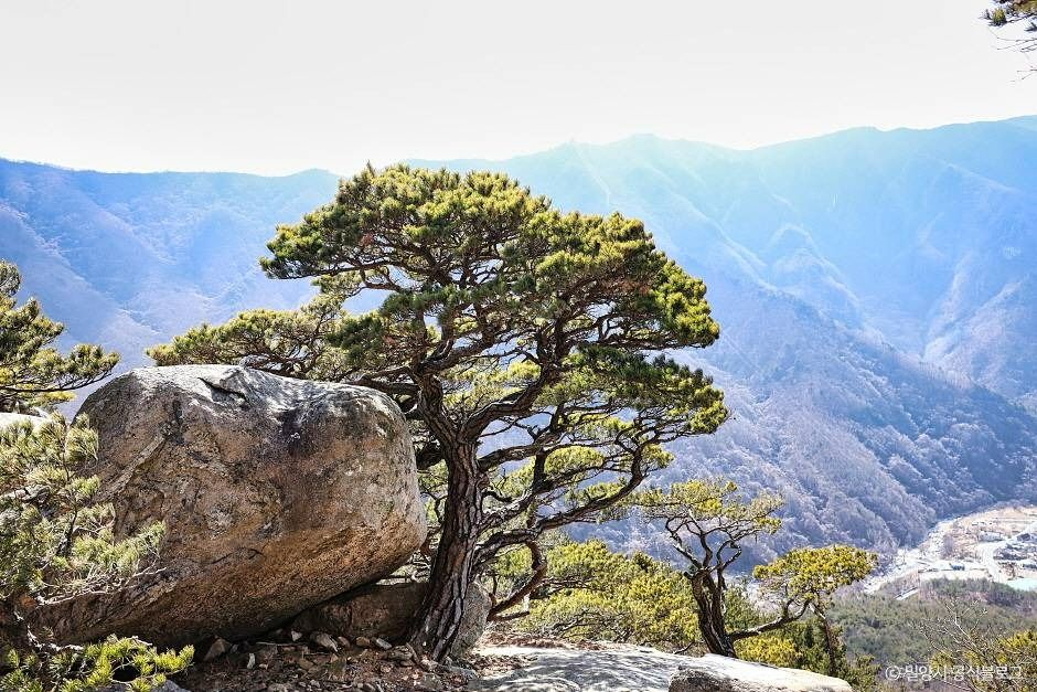
Spanning the borders of Sannae-myeon in Miryang-si, Gyeongsangnam-do, Sangbuk-myeon in Ulju-gun, Ulsan, and Unmun-myeon in Cheongdo-gun, Gyeongsangbuk-do, Gajisan Provincial Park was designated in November 1979. It encompasses areas around Gajisan Mountain and Yeongchuksan Mountain—collectively known as the 'Yeongnam Alps'—along with Cheongsongsan Mountain. Due to its vast scope, it is divided into Seoknamsa Temple and the adjacent Yangsan-gun district. Peaks such as Gohongsan, Gajisan, Unmunsan, Cheonhwangsan, Ganjolsan, Sinbulsan, and Chwiseosan rise together to form this magnificent mountain cluster known as the Yeongnam Alps. Gajisan and Unmunsan mark the boundary between Gyeongsangnam-do and Gyeongsangbuk-do, with Gajisan being the highest among these peaks.
Gajisan features rocky peaks and silver grass fields blended throughout, forming a mountain ridge that connects to Unmunsan, allowing hikers to traverse the ridgeline. In autumn, the silver grass fields stretching from Seoknam-gogae Pass to the summit present a magnificent spectacle, while bizarre rock formations and Ssalbawi (Rice Rock) catch the eyes of climbers. The area around the summit of Gajisan is dotted with rocky ridges and sparse trees, offering a wide, unobstructed view. Nearby are Baegunsan Mountain, which feels just within reach, and Hobakso Valley, a pond shaped like a traditional Korean pumpkin mortar.
Visitor information
- 이용 시간: Always open ※ Please call to confirm details
- 쉬는 날: Open all year round ※ Please call to confirm details
- 주차 안내: Available
- 문의 안내: Forestry & Greenery Division, Miryang City Hall 055-359-5297