
Mudeungsan National Park (Gwangju)
Mudeungsan was designated as a provincial park on May 22, 1972, and was designated as the 21st national park on March 4, 2013. Mudeungsan National Park covers an area of 75.425㎢...
Address: 5 Dongsan-gil 7beon-gil, Dong-gu, Gwangju (Unrim-dong)
Mudeungsan was designated as a provincial park on May 22, 1972, and was designated as the 21st national park on March 4, 2013. Mudeungsan National Park covers an area of 75.425㎢ and is located in the northern and eastern districts of Gwangju, as well as in Damyang-gun and Hwasun-gun. The park is primarily composed of various types of rocks including Hwasun andesite, Mudeungsan tuff (quartz andesite tuff, Mudeungsan basalt, quartz andesite), Dogok volcanic rock, Mimu granite, biotite granite, quartz porphyry, and dike rocks.
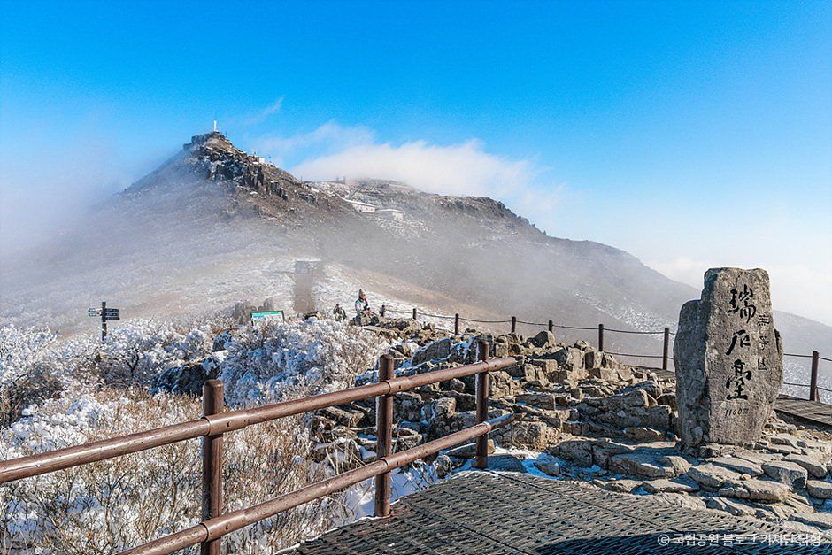
The most notable feature of Mudeungsan is its columnar jointing. Columnar joints are formed when high-temperature lava cools on the surface, resulting in polygonal columns. These columnar joints can be well observed in the Mudeungsan columnar joint area (Seoseokdae, Ipsukdae, Gwangseokdae), Gyubong Rock, and Jungbong. Particularly, the highest peak of Mudeungsan, Cheonwangbong, at an elevation of 1,187m, features vertical jointed rocks that rise dramatically, resembling a stone wall. The rock formation known as Saeinbong, named for its resemblance to a jade seal, is located on the western ridge of Jangbuljae and consists of a curtain-like rock cliff.
Visitor information
- Visiting Hours: - Summer (March~November) 04:00~17:00 - Winter (December~February) 04:00~16:00
- Closed: Open Year-Round
- Parking Info: Available
- Contact Info: Mudeungsan National Park Office 062-227-1187